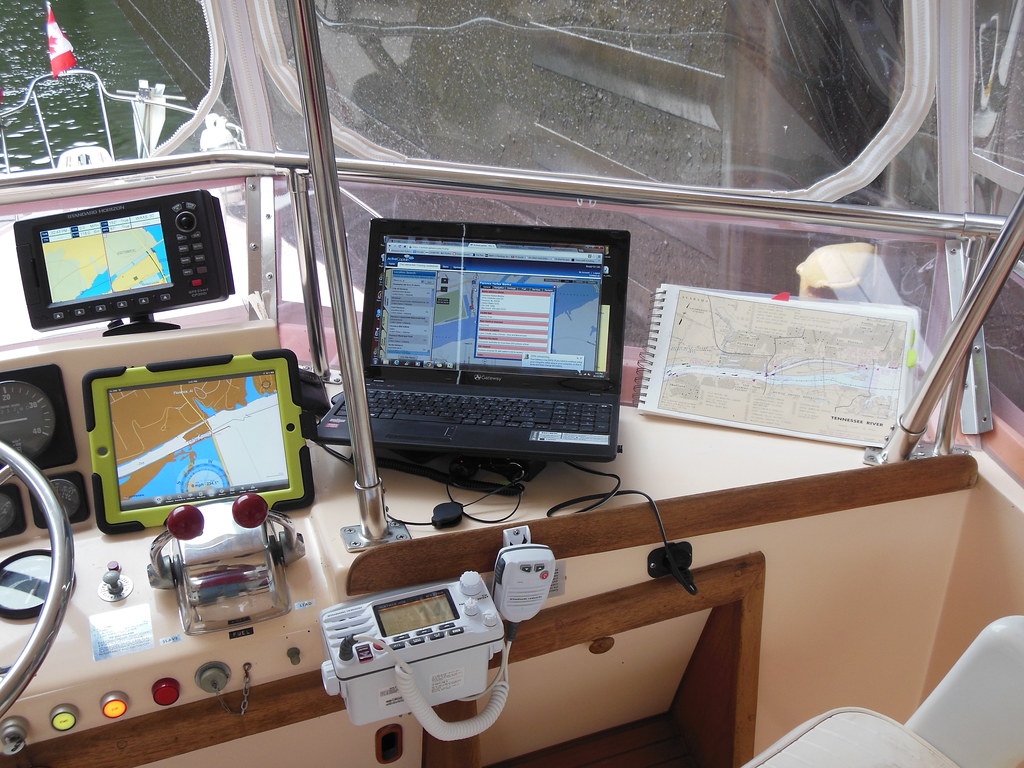
 There are several ways to access the information needed to safely navigate anywhere on the water. There are the old fashioned but reliable paper charts, there are marine GPS units that provide detailed charts electronically, there are apps on the iPad that follow your progress (also GPS based),and of course, with our Verizon Hot Spot, we can also use a laptop to access things like Active Captain and other websites. Lucky for us, we have them all! I know, it seems like overkill for a river journey where you can always see both banks, and the channel is so clearly marked, but we will be glad of them when we get to the blue water, I'm sure.
And with all this information at his fingertips, Michael gets so bored driving (because we are travelling so slowly at only 10 - 12 miles per hour) that he resists sitting in the captain's seat. Truth be told, I don't mind too much, as I find it rather relaxing to sit and watch the scenery go by, but don't tell him I said so!!
A relatively short trip of only 4 hours (some of which I insisted Michael drive) brought us to the top of the Tennessee Tombigbee Waterway. This is where we leave the Tennessee River and our slight northerly direction to actually begin moving south.
This waterway joins the Tennessee and the Tombigbee Rivers, intended to shorten passage between major cities, and allow vessels to avoid the Mississippi River. Originally proposed by the French in the late 1700's, nothing was actually done until 1972 when construction began. Construction of the waterway employed more than 5,000 people at its peak, and they moved more earth than was moved during construction of the Panama Canal! And yet, it is relatively unknown in the U.S or abroad.
Between here and Mobile Bay there are 10 more locks, ranging in drops from 30 to 84 feet, for a total drop of 341 feet. Between locks are stretches of natural river interspersed with canals dug to take out the ox bows. It is about 450 miles from here to Mobile Bay.
We stopped at Grand Harbor Marina for the night (it's a little cold to be out on the hook), and will use their courtesy car tomorrow to visit Shiloh, the site of the largest single battle of the Civil War.
Today's miles: 40.5 to Tennessee River Mile Marker 214.5/ Tenn-Tom Mile Marker 449.7
Total miles: 164.5
No comments:
Post a Comment